Weather and Climate are two terms that can easily be
mistaken as one in the same, however they are not. Weather refers to what is
happening right now and climate is what can be expected or in other words the
average weather in a given location over a period of time. Growing up near
Yellowstone National Park it can be safely said that the climate and weather
are relatively ‘unpredictable’. This can be attributed to a few key features in
Yellowstone National Park including its Altitude and its large surrounding
Mountain Ranges.

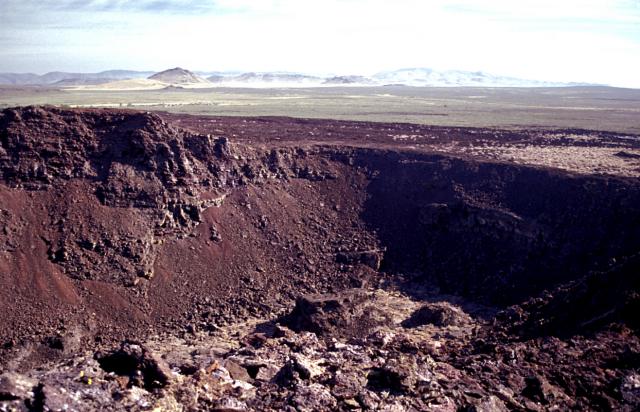
Yellowstone
National Park has altitudes ranging from 5,000-11,000 feet above sea level.
Yellowstone Lake sits at 7733 feet in elevation but the Park has high mountains
and low valleys that make the climate so unpredictable. Lower elevations remain
at milder temperatures however can still vary significantly. During summer,
(June-September) temperature can range from below freezing to highs around 80
degrees Fahrenheit. Spring and fall temperatures can range from lows in the
teens to highs of about 30-60 degrees Fahrenheit. Coldest of all in the winter
months temperatures range from well below zero to 20 degrees Fahrenheit. This
is due to atmospheric pressure changes as you increase in elevation the
pressure of the air around decreases causing the air molecules to expand and
move slower. This causes the air to become cooler which can explain why
mountains sustain snow much longer than the Valleys.

As described in the image the pressure exerted on the man at a much higher altitude (top of the mountain) is much less than the amount exerted on the man at a much lower altitude (the ground).
Image courtesy of Google Images
The Rocky
Mountains cause much of Yellowstone National Park’s weather including winds and
precipitation. As warm moist air from the Valleys collides with the Rocky
Mountains it is forced up the windward side of the mountain. When it reaches
near the top of the mountain clouds and tiny water droplets are formed causing
precipitation. The wind then becomes dry and follows down the leeward side of
the mountain in an act referred to as the Chinook Winds.

The Chinook Winds also greatly attribute to the wide range of temperatures in Yellowstone National Park. As the winds carry over the top of the mountain the air warms. Dry air warms much quicker then moist air which can sometimes cause a rapid increase in temperature of almost 40 degrees.
Image courtesy of Google Images.
References:
http://clasfaculty.ucdenver.edu/callen/1202/
Lectures: Earth's Temperature and Climate
Weather
Pressure and Winds
http://www.nps.gov/yell/planyourvisit/weather.htm
https://en.wikipedia.org/wiki/Chinook_wind